|
|
|
- U.S. Gazetteer
Provides maps and Census data for U.S. cities.
www.census.gov/cgi-bin/gazetteer
- National Atlas of the United States of America, The
Offers map-like views of America's natural and sociocultural landscapes. Use the map browser to create custom, layered digital maps that display visual data for agriculture, environment, population change, and more.
www.nationalatlas.gov
- Color Landform Atlas of the US
Includes color shaded relief maps of every state.
fermi.jhuapl.edu/states/states.html
- TIGER Mapping Service
High-quality, detailed maps of anywhere in the United States, with multiple layers and elective marker placement.
tiger.census.gov
- U.S. Geographic Names Information System
Find out where a city or other feature such as a mountain or lake is in the United States.
geonames.usgs.gov
- Geodata.gov
Provides access to geospatial data, and maps, and also publishes resources of registered geographic data providers. It is a part of the geospatial e-gov initiative by the U.S. Department of Interior.
www.geodata.gov
- United States Maps
Features a collection of United States maps by state, territory, and type. From the Perry-Casta?eda Map Collection.
www.lib.utexas.edu/maps/united_states.html
- United States Map
Features a map of the United States from 50states.com.
www.50states.com/us.htm
- Maptech MapServer
Features topo maps for cities, towns, and other places throughout the 50 states. Also browsable by zip code or coordinates.
mapserver.maptech.com
- CommonCensus Map Project, The
Redrawing the map of the U.S. based on culture, as opposed to traditional political boundaries.
www.commoncensus.org
- Economic Research Service: State Fact Sheets
Agricultural economic fact sheets for each U.S. state, showing urban and rural populations, employment, income, farm characteristics, and farm financial indicators.
www.ers.usda.gov/statefacts
- Lonely Planet: United States Map
Provides an interactive map of the United States with links to travel information on attractions and points of interest.
www.lonelyplanet.com/worldguide/destinations/north-america
- United States Map - Town USA
Displays a map of the United States and the four official U.S. time zones.
www.town-usa.net/states.html
- Shaded Relief Maps of the United States
Uses false-color 3D shading to show changes of altitude, as if you were viewing the relief from a satellite.
www.birrell.org/andrew/reliefMaps
- Geologic Map of North America
Large colorful USGS geologic map that portrays the grand architecture of the North American continent as it was understood in the closing years of the 20th century.
esp.cr.usgs.gov/info/gmna
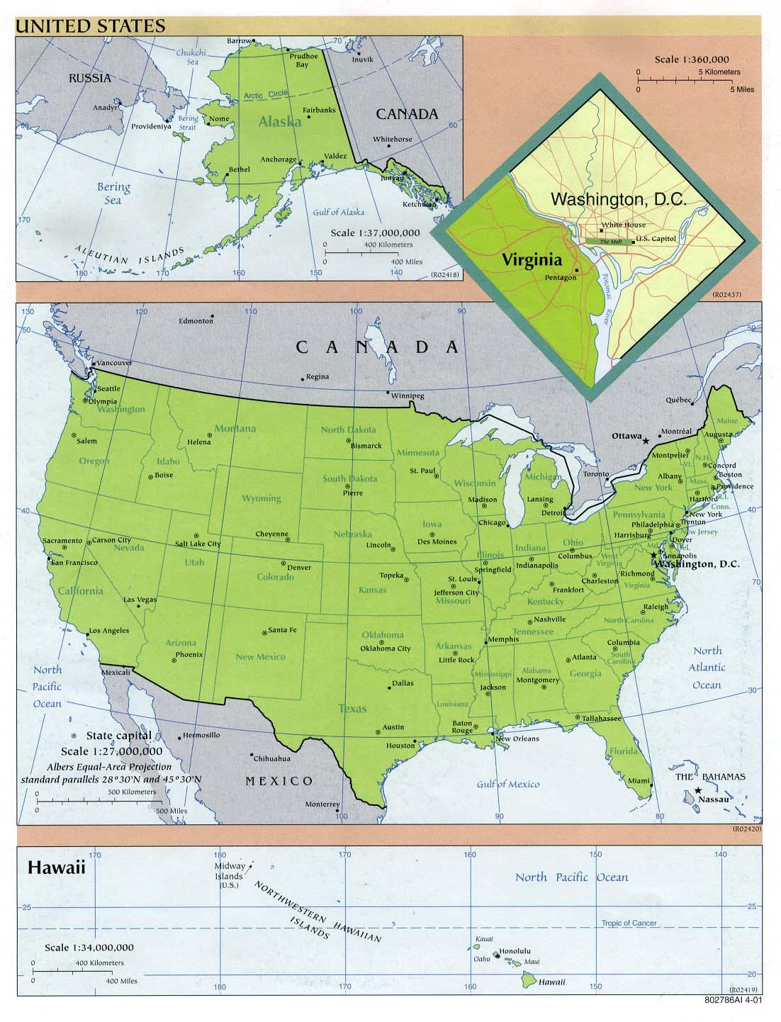
- Map of the United States
Simple country map including state names and capitals.
www.lib.utexas.edu/maps/united_states/usa_pol01.jpg
- BestUniversitiesintheUS.com
Provides listings and profiles of universities offering biological science courses in the U.S.
www.bestuniversitiesintheus.com/Biological_Sciences.html
|
|
| |
|

 Help us improve the Yahoo! Directory - Share your ideas